UX Research • Product Design
place LA is a theoretical urban planning project I developed in collaboration with Gabrielle Leow (Gabby) and Sheenal Patel. Garnering inspiration from data scientist, Jer Thorp, and learning about the history of Historic Filipinotown through interviews, Gabby and I become curious about the sense of “place” in Los Angeles — its cultural history, architectural history, and the contradictions that lived within its development trends (e.g. gentrification),
At first, we wanted to created a third place simulator, an immersive art piece that allowed the user to physically immerse themselves in the history of an area prior to seeing what was currently placed in Los Angeles, or even provide them with information about current development projects in proposal. We posed questions. If we knew about the indigenous or cultural history in this region would we place the same votes around certain proposals? Would education influence travel in this area?
We submitted our idea to the ETC@USC competition and were paired with CTOs at Technicolor and 20th Century Fox, who had interests in developing a participatory design product for their prospective corporate environments. After this phase, we conducted research among relevant populations — community members, urban planners, local organizers, nonprofits, and architects. Gabby was in charge of the creative presentation and concept. I was in charge of research and crude prototyping. Sheenal was in charge of business development, and mobile/web development consulting. We also hired Adrienne Cosar and Aidan Harris Tyrell to help us visualize our prototype.
Ideation
placeLA
Research
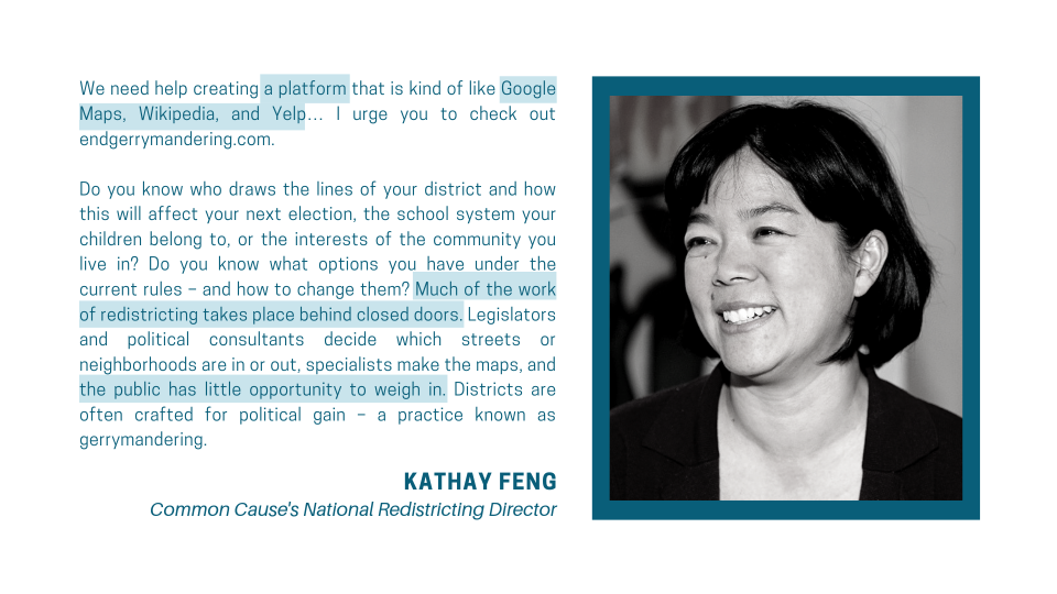
After conducting interviews, we noticed that more than just knowing the history of the place, local residents in the Los Angeles area seemed to have very little notice or knowledge of what developments might happen in the city. Even if constituents were aware of developments, community members faced many barriers to contributing input regarding their city’s design.
Public development plans include heavy jargon that are difficult to translate (especially with residents that may not speak the language)
Private stakeholders don’t necessarily have the community’s interest in mind; when they do there are limited opportunities for participatory design
Town hall meetings occur during working hours; working constituents must sacrifice pay to participate in public planning


User Story Mapping
Locals lack access to policy decisions due to muti-level variables - political literacy, financial access, language barriers - and must find a way to connect with planners and policymakers.
Policymakers struggle to recruit the public to townhalls and make many decisions behind closed doors. Policymakers need to find a connection to locals.
Planners are limited in their scope, so they tend to favor the loudest voice (tends to be private stakeholders and politicians) — planners need a low-cost way to see what is needed in the community.
The Product
The site will prompt the user to select their position (i.e. urban planner or constituent) and be brought to a map, similar to how one might open a GPS application. The user can then view their neighborhood. The map will have pins signifying proposals relevant to their area.
For the purposes of this presentation, the product will be shown from the user’s point of view.
The user can zoom into their area by using the “+” function or selecting relevant pins. The user will then see notices containing relevant information. Here the user will see comments made by other users and have the opportunity to contribute their own. Planners and relevant stakeholders (e.g. construction companies) are also able to post updates.
Due to COVID-19, we halted production for placeLA and could not finish research development, but I did learn a lot about the urban planning process through this project. I am grateful for this experience and hope to be more involved in local organizing and advocacy. To see more of our presentation for the ETC@USC competition, see below!


